Charlotte Warms Before Midweek Rain
Temperatures will rise to the middle 70s by Tuesday before a low-pressure system brings showers back on Thursday.
By Yasmin Farouk ·
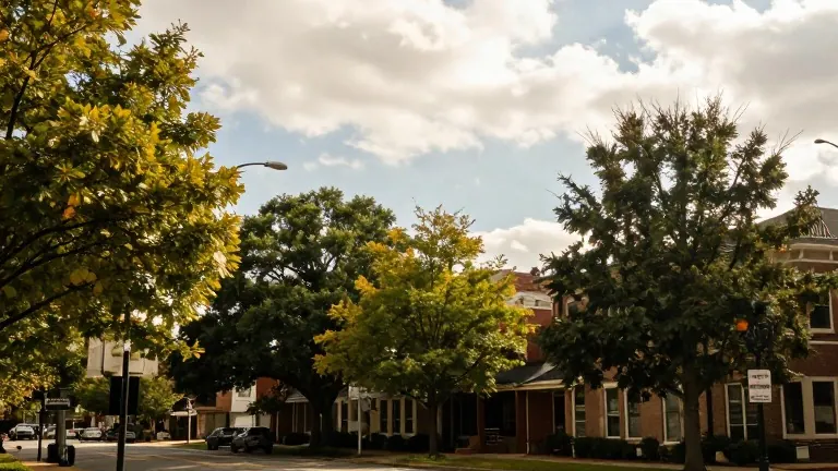
The Charlotte metro area will experience a sustained warming trend this week, with highs reaching the middle 70s by Tuesday. This marks a shift from the cooler, cloudy conditions of early November. The temperature rise will put the region roughly 5 to 10 degrees above average for the time of year.
The weather pattern changed as high pressure moved offshore into the western Atlantic. This shift altered wind directions and broke down the lingering cold air damming that kept temperatures in the upper 60s on Sunday. On Sunday afternoon, residents can expect northeast winds near 10 mph and mostly cloudy skies. The chance of rain remains low at 20% on Sunday, with little to no measurable accumulation expected.
Dry and pleasant conditions are scheduled for Monday and Tuesday. Highs will climb into the lower 70s on Monday under partly cloudy skies. By Tuesday and Wednesday, temperatures will reach the middle 70s. Morning and afternoon commutes should remain dry through at least Tuesday evening. A stray shower is possible on Tuesday but is not guaranteed.
Rain chances return late Wednesday night as a low-pressure system and frontal boundary slide in from the west. Showers will become likely on Thursday, with rain chances increasing to 50%. A few rumbles of thunder are possible, though widespread severe storms are not anticipated. Residents should plan for wet conditions during the Thursday workday.
Following the front, rain chances drop to around 20% on Friday. Unseasonably warm temperatures will linger near 70 degrees into next weekend. The forecast calls for increasing clouds on Monday and a mainly dry day, with a mild afternoon on Tuesday.
Source: WBTV · original report published
More News · Charlotte news · Report a business · Got a Story?